
A low-pressure area (LPA) was spotted 645 km. south-southeast of General Santos City, outside the Philippine Area of Responsibility (PAR), the weather bureau said Friday.
“It will not enter the PAR and it is also unlikely to develop into a tropical cyclone,” Benison Estareja of the Philippine Atmospheric, Geophysical and Astronomical Services Administration (Pagasa) said.
The bureau, however, forecast the LPA’s trough to cause scattered rain showers and thunderstorms over the Davao Region and Soccsksargen.
Estareja said the agency is not expecting any weather disturbance that could enter PAR in the next few days.
He said the ridge of a high-pressure area, and the easterlies will continue to bring warm and humid weather over most parts of the country.
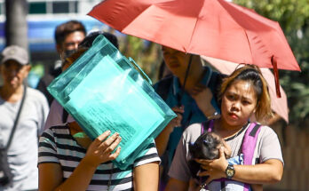
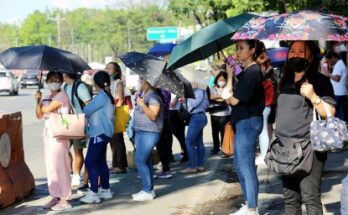
Tuguegarao’s temperature could reach up to 37°C while the heat index or the temperature that a person feels would be 43°C. Up to 35°C temperature is forecast in Metro Manila.
The temperature in the Kalayaan Islands, Puerto Princesa, and Zamboanga could reach up to 34°C, and up to 33°C in Davao.
Isolated rain showers due to the easterlies and localized thunderstorms may also be experienced over Metro Manila and the rest of the country.
Light to moderate winds and slight to moderate coastal waters will continue to prevail across the archipelago, PAGASA said. (PNA)