
A low-pressure area outside the Philippine Area of Responsibility (PAR) developed into a tropical depression on Sunday night, but forecasters say it poses no threat to the country.
According to the Philippine Atmospheric, Geophysical and Astronomical Services Administration (Pagasa) weather specialist Daniel Villamil, the tropical depression is unlikely to enter PAR or bring any significant impact to the Philippines.
“We also don’t expect it to affect any part of the country in the next few days,” Villamil said.
The weather bureau continues to monitor the system, but no tropical cyclone warnings have been issued as of now.
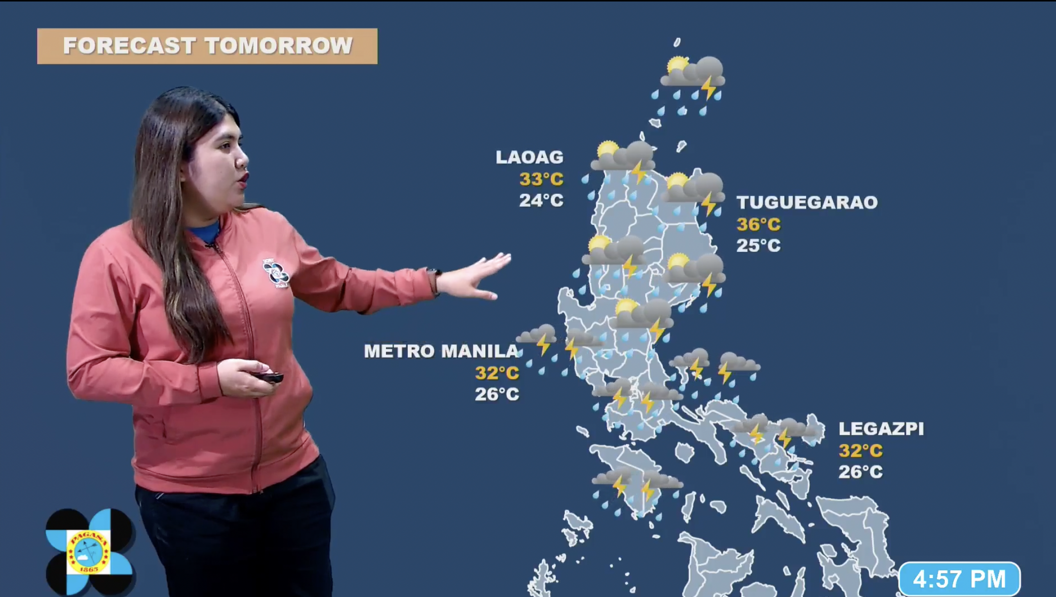
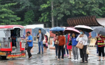
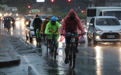
The southwest monsoon (habagat) will bring scattered rains and thunderstorms in some parts of the country Monday, the weather bureau said.
In its 4 a.m. bulletin, Pagasa said the habagat will prevail across Metro Manila, Calabarzon, BARMM, Soccsksargen, Davao Region and the provinces of Pangasinan, Zambales, Bataan, Occidental Mindoro, and Palawan.
Moderate to heavy rains in those areas could result in flash floods or landslides.
Meanwhile, due to the “moderate to heavy rains with lightning and strong winds” forecast in the province of Cavite, preschool to senior high school classes in both public and private schools are suspended.
College and university classes will be subject to the discretion of each institution’s administration, Governor Athena Tolentino said in a social media post.