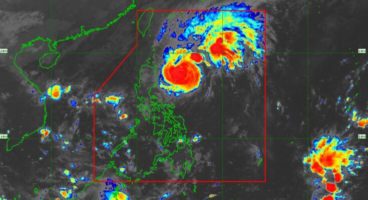
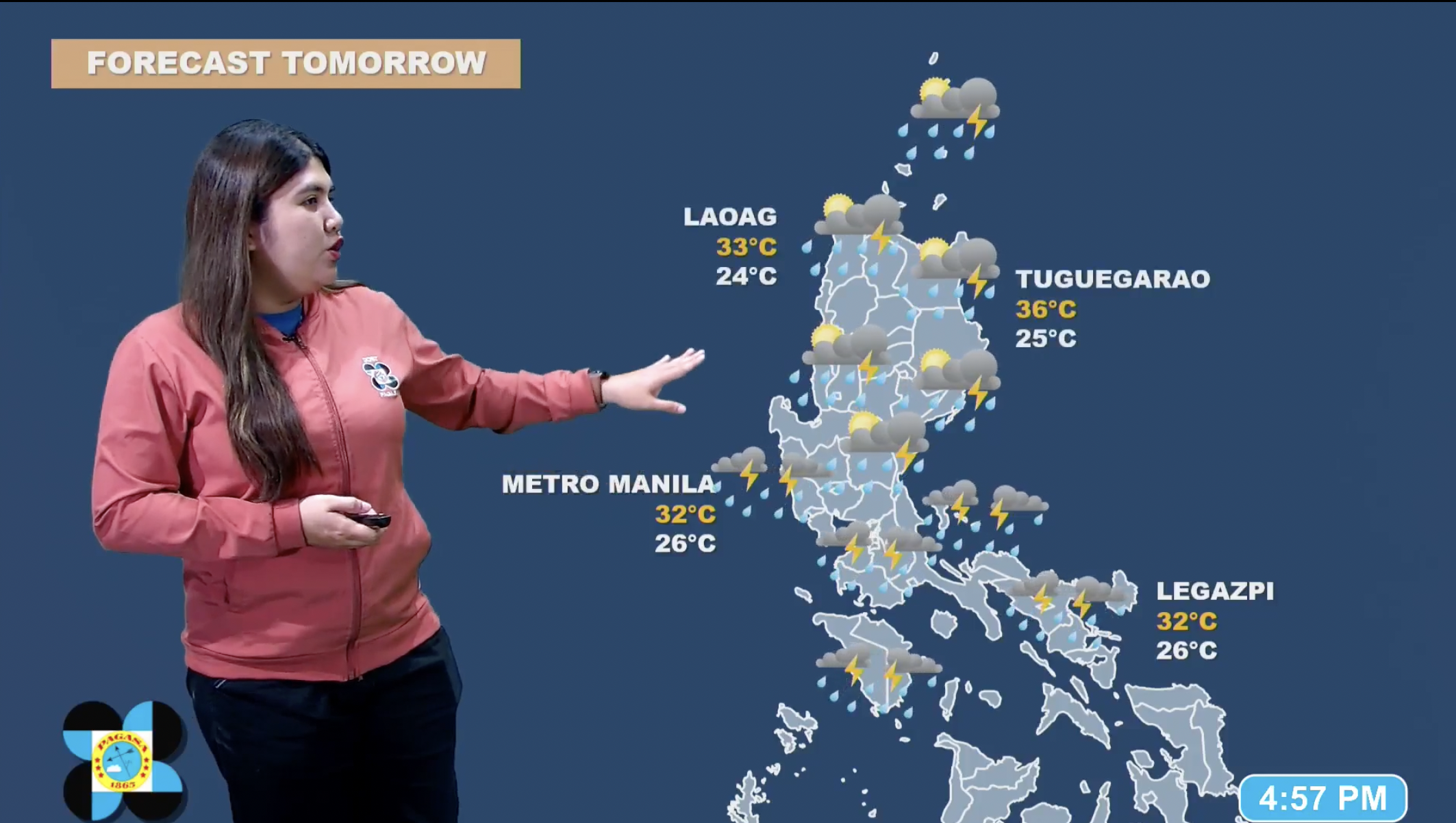
Several areas in northern Luzon are under Tropical Cyclone Wind Signal (TCWS) No. 2 as Typhoon Marce (international name Yinxing) maintained its strength, the weather bureau said Wednesday.
In its 5 a.m. bulletin, the Philippine Atmospheric, Geophysical and Astronomical Services Administration (PAGASA) said these areas are the eastern portion of Babuyan islands (Camiguin Is., Babuyan Is.,) and the northeastern portion of mainland Cagayan (Santa Ana, Gonzaga, Lal-Lo, Santa Teresita, Buguey).
Meanwhile, strong winds will prevail in areas under TCWS No. 1 — Batanes, the rest of Cagayan including Babuyan Islands, Ilocos Norte, Ilocos Sur, Apayao, Abra, Kalinga, Mountain Province, Ifugao, the northern portion of Benguet (Mankayan, Buguias, Kabayan, Bakun, Kibungan, Atok, Bokod), Isabela, Nueva Vizcaya, Quirino, and the northern portion of Aurora (Dilasag, Casiguran, Dinalungan, Dipaculao, Baler, Maria Aurora).
Gale-force gusts due to the northeasterly wind flow will also prevail across Ilocos Region, Quezon, Camarines Norte, Camarines Sur, and Catanduanes.
The typhoon packs maximum sustained winds of 140 kph near the center and gustiness of up to 170 kph.
It was located at 345 km. east of Tuguegarao City, Cagayan as of 4 a.m.
“There is a moderate to high risk of life-threatening storm surge reaching 2 to 3 meters above normal tide levels in the next 48 hours over the low-lying or exposed coastal localities of Batanes, Cagayan including Babuyan Islands, Isabela, Ilocos Norte, and Ilocos Sur,” PAGASA said.
Gale warning is hoisted over the seaboards of northern Luzon and the eastern seaboard of Central Luzon. Sea travel is risky for all types or tonnage of vessels.
Meanwhile, PAGASA forecast Marce to further intensify and make landfall or pass close to Babuyan Islands or the northern portion of mainland Cagayan from Thursday to Friday.
The typhoon is forecast to exit the Philippine Area of Responsibiliy on Friday night. (PNA)


