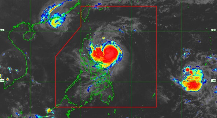
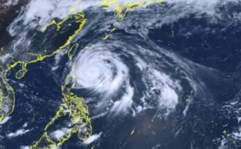
MORE areas have been placed under tropical cyclone wind signal (TCWS) no. 2 as Typhoon Ofel (international name Usagi) threatens Northern Luzon, the weather bureau said in a 5 p.m. bulletin Wednesday.
Ofel packs maximum sustained winds of 120 kph near the center and gustiness of up to 150 kph, and was located 480 km. est of Baler, Aurora as of 4 p.m.
Gale-force winds will prevail in areas under TCWS no. 2: Cagayan including Babuyan Islands, the northern and eastern portions of Isabela (Maconacon, Divilacan, Palanan, San Pablo, Cabagan, Santa Maria, Santo Tomas, Tumauini, Ilagan City), and the eastern portion of Apayao (Flora, Luna, Santa Marcela, Pudtol).
Areas under TCWS no. 1 will experience strong winds: Batanes, the rest of Isabela, Quirino, the northern portion of Nueva Vizcaya (Kasibu, Ambaguio, Solano, Bayombong, Quezon, Bagabag, Diadi, Villaverde), Apayao, Kalinga, Abra, Mountain Province, Ifugao, Ilocos Norte, and the northern portion of Aurora (Dilasag, Casiguran, Dinalungan, Dipaculao).
Heavy to intense rains are forecast in Cagayan and Isabela, while moderate to heavy rains will prevail over IIocos Norte, Apayao, Abra, Kalinga, Mountain Province, Ifugao, Quirino, Nueva Vizcaya, Aurora, and Catanduanes.
There is a moderate to high risk of life-threatening storm surge reaching one to three meters in the next 48 hours over the low-lying or exposed coastal localities of Batanes, Ilocos Norte, Ilocos Sur, Cagayan including Babuyan Islands, Isabela, and northern Aurora.
Up to very rough or high seas are forecast over the seaboards of mainland Cagayan, Isabela and Babuyan Islands.
Sea travel is risky for all types or tonnage of vessels, the Philippine Atmospheric, Geophysical and Astronomical Services Administration (PAGASA) said.
Meanwhile, Ofel is still forecast to make landfall over the eastern coast of Cagayan or Isabela on Thursday.
The typhoon will continue to intensify and reach its peak intensity during landfall, PAGASA said.


