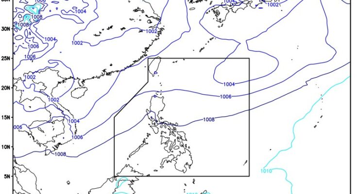
THE low pressure area (LPA) inside the Philippine Area of Responsibility (PAR) could develop into a tropical cyclone on Monday, the weather bureau said.
“This LPA, last tracked 1,375 km. east of extreme Northern Luzon, has a huge chance of developing into a cyclone within the day,” Obet Badrina of the Philippine Atmospheric, Geophysical and Astronomical Services Administration (PAGASA) said.
It will be named Dindo, he added.
Badrina said it is also possible that the LPA would exit PAR within the day.
“Currently, the LPA has no direct effect on any part of the country, and it does not enhance the ‘habagat’ or southwest monsoon,” he noted.
‘Habagat’ will bring scattered rains and thunderstorms over Ilocos Region, Zambales, and Bataan.
Moderate to heavy rains in those areas could result in flash floods or landslides, according to PAGASA.
Metro Manila, the rest of Luzon, Western Visayas, and Negros Island Region will experience isolated rain showers or thunderstorms due to “habagat”.
Isolated rain showers caused by localized thunderstorms are also forecasted over the rest of the country.
Light to moderate winds and slight to moderate seas will prevail across the archipelago, PAGASA said. (PNA)


