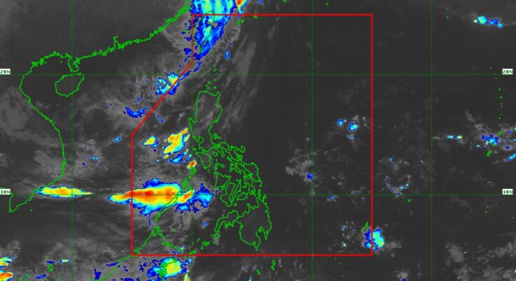
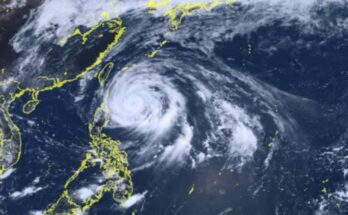
“LEON” (international name Kong-rey) has weakened into a severe tropical storm and has left the Philippine Area of Responsibility (PAR) but rains will continue over some parts of Luzon on All Saints’ Day.
Benison Estareja, weather specialist of the Philippine Atmospheric, Geophysical and Astronomical Services Administration (PAGASA), said in the agency’s 5 a.m. weather update that Leon exited the PAR at 1:30 a.m. Friday.
Leon was last spotted at 550 km. north northwest of Itbayat, Batanes, packing maximum sustained winds of 100 km. per hour (kph) near the center and gustiness of up to 140 kph. It is moving northwest at 20 km. per hour.
All tropical cyclone warning signals have been lifted.
However, Estareja said the trough of Leon will bring cloudy skies with scattered rains and thunderstorms over the western section of Luzon, particularly in the provinces of Zambales, Bataan, Palawan and Occidental Mindoro.
Metro Manila and the rest of the country will have partly cloudy to cloudy skies with isolated rain showers or thunderstorms due to localized thunderstorms.
Meanwhile, the wind flow towards Leon’s circulation will bring strong to gale-force winds over Batanes, Babuyan Island, northeastern mainland Cagayan, and the eastern portion of Isabela.
Estareja also said improved weather conditions throughout the country are expected on Saturday. (PNA)


