
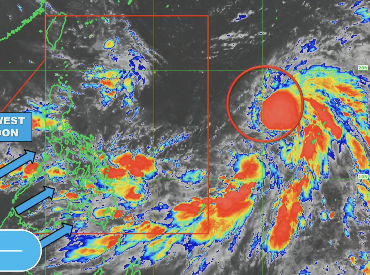
TROPICAL cyclone Bebinca (international name) is still outside the Philippine Area of Responsibility (PAR) but is enhancing the southwest monsoon or “habagat”, the weather bureau said Thursday.
Bebinca was last tracked 1,975 km. east of Central Luzon and is expected to enter PAR by Friday. Once it enters the PAR, the tropical cyclone will be called “Ferdie.”
The Philippine Atmospheric, Geophysical and Astronomical Services Administration (PAGASA) forecast Bebinca’s trough to bring scattered rains and thunderstorms in Eastern Visayas, Caraga, Catanduanes, Albay, Sorsogon, and Masbate.
It will also cause isolated rain showers or thunderstorms in Cagayan Valley, Aurora, Quezon, and the rest of the Bicol Region.
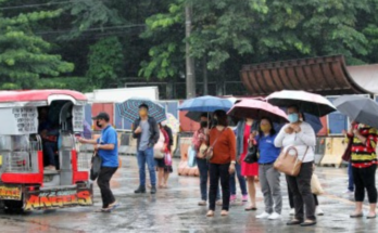
“Habagat”, on the other hand, will bring scattered rains and thunderstorms in Palawan, Occidental Mindoro, Romblon, and the rest of the Visayas and Mindanao.
Moderate to heavy rains in those areas could result in flash floods or landslides, PAGASA said.
Meanwhile, the rest of Mimaropa and Calabarzon will have isolated rain showers or thunderstorms due to “habagat” and the same weather will be experienced in Metro Manila and the rest of Luzon due to localized thunderstorms.
Moderate to strong winds and moderate to rough seas are forecast to prevail in the eastern section of Mindanao.
Elsewhere, winds will be light to moderate with slight to moderate seas. (PNA)