

A low-pressure area (LPA) being tracked by the weather bureau has entered the Philippine Area of Responsibility (PAR) and is expected to inch closer to land over the next few days.
As of 3 p.m. Monday, the LPA was located 735 kilometers east of Davao City. It is currently embedded within the intertropical convergence zone (ITCZ), the region where winds from the northern and southern hemispheres meet.
The LPA’s trough, or extension, will bring cloudy skies, scattered rain showers, and thunderstorms over the Caraga and Davao regions.
Meanwhile, the rest of Mindanao and Palawan will also experience cloudy conditions, rain showers, and thunderstorms due to the ITCZ’s influence.
Metro Manila and much of the rest of the country will enjoy generally fair and warm weather, though localized thunderstorms are possible in the afternoon, influenced by easterlies—warm winds blowing from the Pacific Ocean.
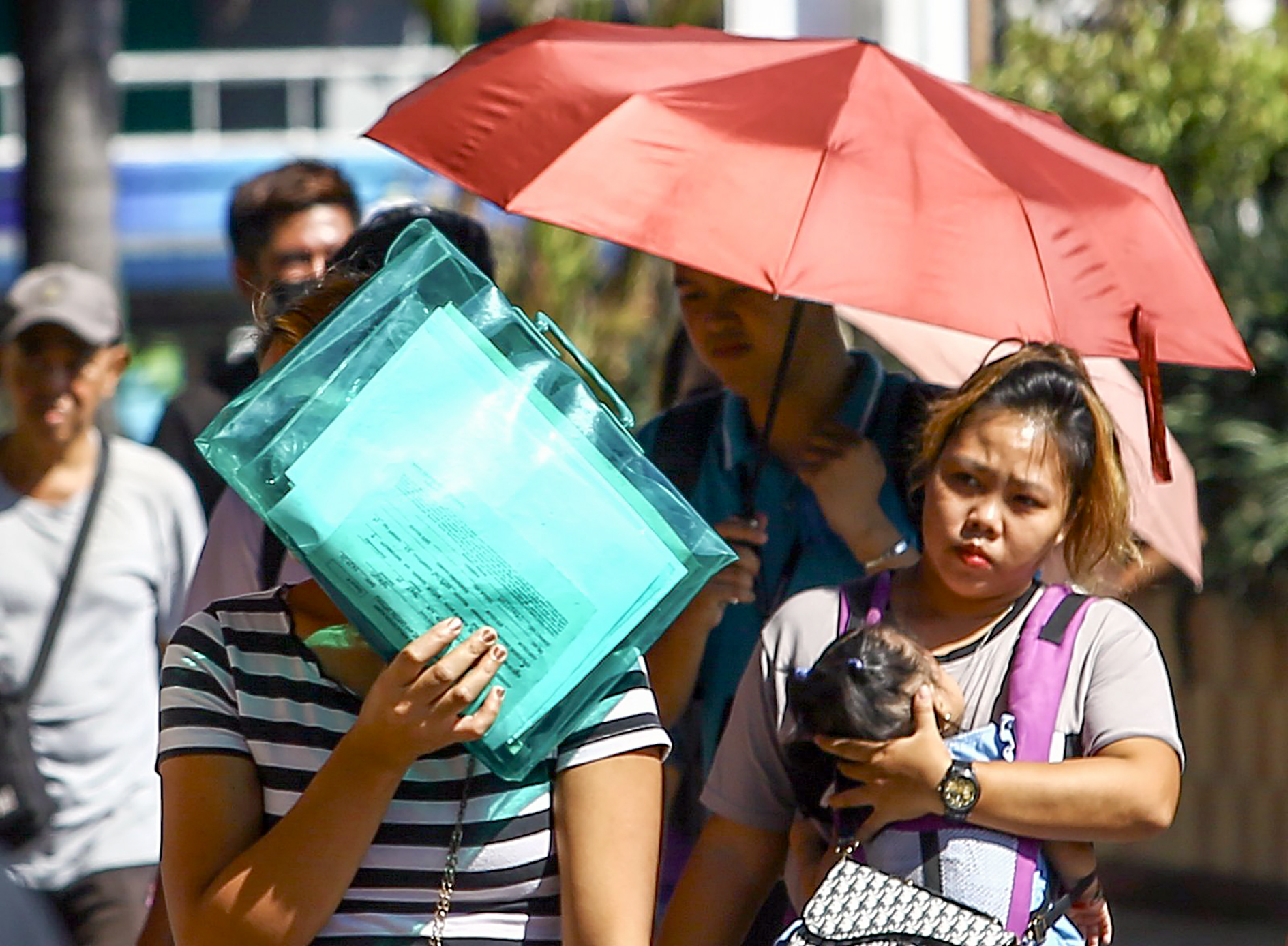
While Mindanao braces for rains, Luzon continues to endure intense heat.
Data from the Philippine Atmospheric, Geophysical and Astronomical Services Administration (Pagasa) as of 5 p.m. Monday show that 18 cities and municipalities are expected to experience “dangerous” levels of heat index on Tuesday.
This number is projected to climb to 21 areas by Wednesday.
The highest heat index is forecast at Sangley Point in Cavite City, Cavite, where temperatures could feel as hot as 45 degrees Celsius. Pasay City follows closely with an expected heat index of 44ºC during the same period.
In contrast, Baguio City and La Trinidad in Benguet will continue to record the lowest heat indices nationwide, both expected to experience a milder 28ºC from Tuesday to Wednesday.
Pagasa warned that exposure to “dangerous” heat index levels could cause heat cramps and heat exhaustion, and prolonged exposure may even result in heatstroke.